
Check Fuquay-Varina Neighbors by Block
Records around a Fuquay-Varina address answer different questions. The town map shows the spatial setting. iMAPS supplies property and tax-map context. The Register of Deeds records instruments, while a voter lookup is limited by state law and a historical directory is a dated snapshot. Start by naming the subject parcel and its map date. Then compare only the nearby records that are needed for a clear question, such as an adjacent lot, a subdivision document, or a former street listing.
| Source | Block information | Access |
|---|---|---|
| Town GIS | Address points, parcels, surrounding geometry, jurisdiction, zoning, and development layers | Public viewer and map portal |
| Wake iMAPS | Owner role, mailing and situs context, PIN or REID, map and aerial context | Public mapping search |
| Wake Register of Deeds | Recorded deeds, plats, easements, releases, and subdivision instruments | Index, transition route, terminal, or counter |
| Voter records | Limited registration information permitted by statute | State lookup or permitted county request |
| Historical and civic sources | Dated street listings or organization leads, not a current block roster | Library, archive, or Chamber directory |
None of those sources proves who is present at a property. An owner can be an entity, a trust, or a person whose mailing address is elsewhere. The careful labels are “adjacent parcel,” “owner of record,” or “historical directory entry,” rather than a claim about a household.
Map a Fuquay-Varina Block First
The town GIS is the starting point for the immediate block around a Fuquay-Varina address. Its published layers include Address Points, Parcels, Utilities, Transportation, Town Jurisdiction, Streets, Zoning, Land Use, Development, Solid Waste, Flood Hazards, and Environmental Features. The Property MapServer also identifies building footprints, subdivisions, ZIP Codes, and surrounding Wake County parcels. Select address points and parcels, find the subject address, then keep the map date and layer names with any notes.
The following image comes from the Fuquay-Varina GIS parcel viewer.
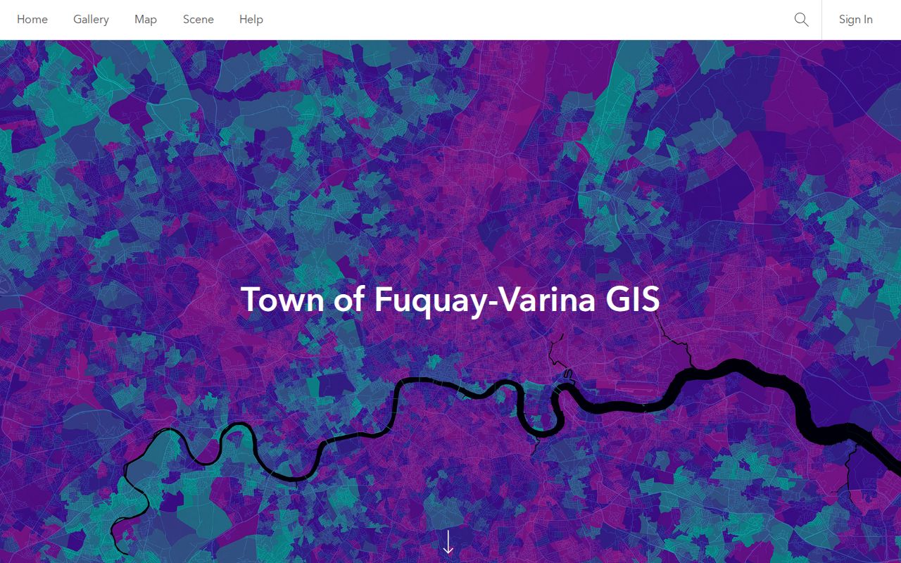
The viewer supplies a visual starting point for nearby parcels. It can show geometry and labels, but it does not establish occupancy, a social connection, or a complete list of Fuquay-Varina neighbors.
- Locate the subject address with the address-point layer and identify its parcel.
- Turn on parcels and record the PIN or other displayed parcel key, subdivision, map date, and the directly adjacent parcel IDs.
- Use iMAPS for the owner role and mailing-versus-situs context, then use the Register of Deeds for recorded legal documents.
- For a full named-road trail rather than the immediate block, use the Fuquay-Varina street directory record chain.
Read Fuquay-Varina Parcel Geometry
Parcel outlines answer a map question, not a personal one. A common boundary can represent a shared edge, an easement, a road, or a larger tract divided in a way that is not obvious from a screen map. Building footprints and address points add useful context, but they still do not turn geometry into evidence that two people know each other or live at the shown addresses. Save the source URL, layer date, parcel key, and an explicit confidence note.
Town GIS supports spatial queries and map-layer identification. iMAPS adds property information, and its guide documents owner, address, street, PIN, REID, place, and intersection searches. A parcel's situs is the physical location. Its mailing address is where correspondence is sent. Those fields may differ by county, state, management contact, or post-office box. The same distinction applies when a public record lists an entity or estate as owner.
Note: Adjacent geometry is useful for describing a block, but it does not establish residence or a relationship.
Cross-check Fuquay-Varina Neighbors in iMAPS
After the town map identifies the right parcel, Wake County iMAPS supplies the complementary assessor and tax-map view. Use an address, street, place or intersection, owner name, PIN, or REID to reach a parcel. PIN and REID are the preferred stable keys. If an address does not return, try the street without its type, test a directional variation, zoom to the area, and use Identify. A current label can lag a recent ownership or address change.
Record the public owner role separately from mailing address and situs address. Do not convert a management line, trust, corporation, or estate into a named personal conclusion. iMAPS is also not a survey. A deed or plat controls the legal description, while the map gives practical context for the Fuquay-Varina block.
Give Fuquay-Varina Parcels Deed Context
The Wake Register of Deeds consolidated index provides legal context after a parcel has been identified. Search the current grantee, then work backward through grantors and grantees. Document type, date range, book and page, Standard or Sounds Like name searching, and Individual-Human or Firm-Non-Human classifications can help separate similar names. Deeds, easements, plats, releases, and subdivision documents often explain a boundary or development reference better than a map label alone.
Read the image for the recording stamp, legal description, PIN, map reference, and exhibits. The old index covers recorded documents through April 17, 2025. Wake's new Land Records and Records Management application began April 21, 2025, so a chain spanning the transition needs both routes or the county's transition links. A recorded deed gives a legal role at a date. It does not say who currently lives nearby.
Use Fuquay-Varina Community Listings Carefully
The Chamber's civic and social category is the verified community-directory layer for Fuquay-Varina neighbors. It lists groups such as Democracy Green, Downtown Fuquay-Varina Rotary Club, the Fuquay-Varina Chamber, the Downtown Association, Junior Woman's Club, Lions, and Rotary. These are civic and social organization leads, not official government records, address lists, or neighborhood-association rosters. Contact a group only through the directory's stated public channel and verify current membership with the organization.
The following image links to the Fuquay-Varina Chamber directory home.
The Chamber is a private local association. Its directory can point to a civic organization, but it is not evidence about a specific Fuquay-Varina block.
The following image links to the Chamber civic and social category.
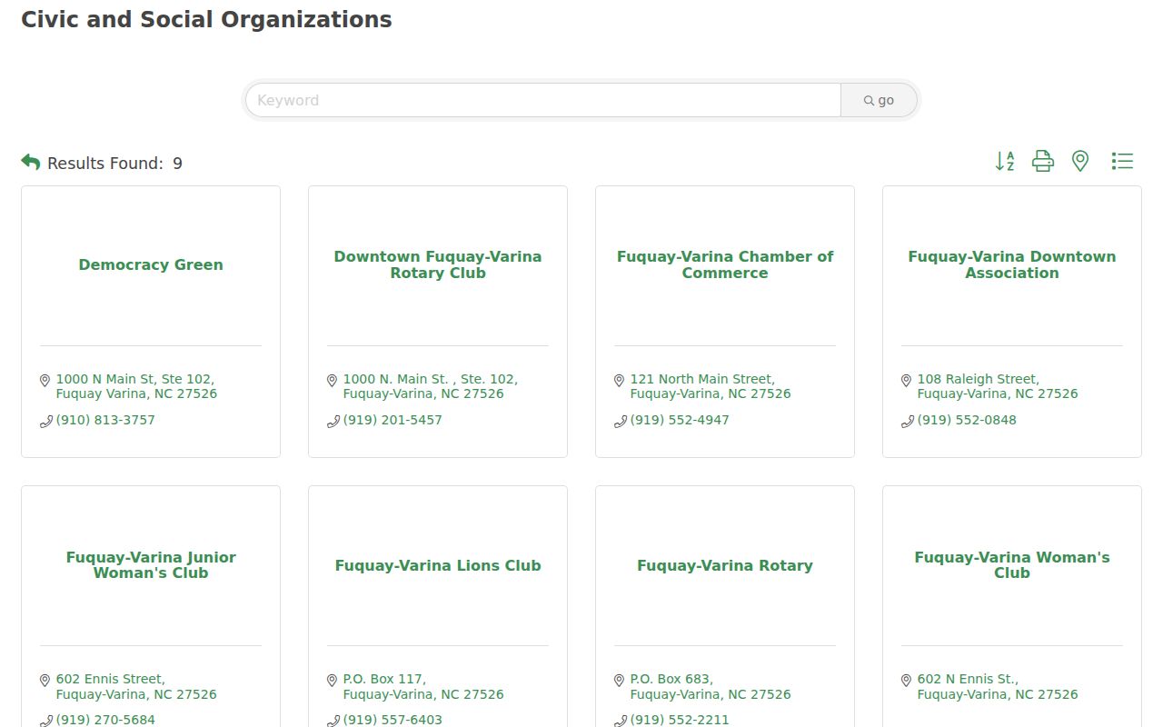
Use this category to identify a public organization name, then rely on that organization for its own contact and membership information.
One official town agenda or abutters document mentions Elliot Landing Homeowners Association Inc. That is a development-context mention only. No official townwide HOA or neighborhood-association directory was located, so it should not be treated as a roster or a complete inventory.
The following image links to the Chamber alphabetical member directory.
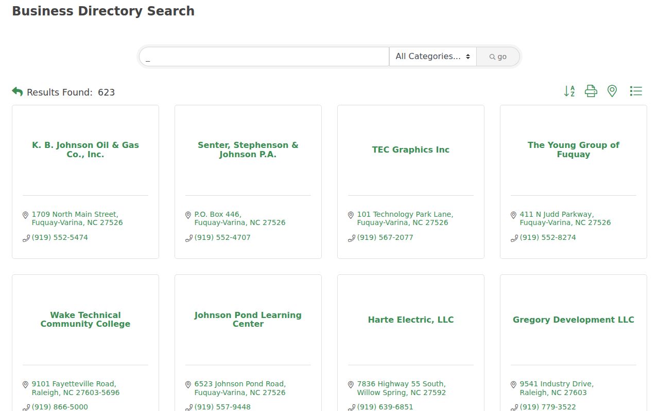
An alphabetical member list is useful for a public organization search, not for identifying households on a street.
Follow Fuquay-Varina Development Records
Subdivision, utility, and permit clues can explain why a map layer or parcel label looks the way it does. The town's as-built archive is organized by development-project name or a simplified description, and FVGIS points users to the Utility As-Built Drawings layer. The town ePermits route searches Permit Type, Permit Number, and Service Address. For older work, Wake's legacy permit database covers records before July 1, 2018 and searches Applicant Name, Permit Number, Owner, Address, or PIN.
For municipal records beyond maps and permits, the Fuquay-Varina Town Archive Center can be searched by street, subdivision, project, or surname. Check the document date and originating department. If an existing record is missing, use the town public-records request route for that specific record. Property instruments belong with Wake rather than a request for the town to recreate a county file.
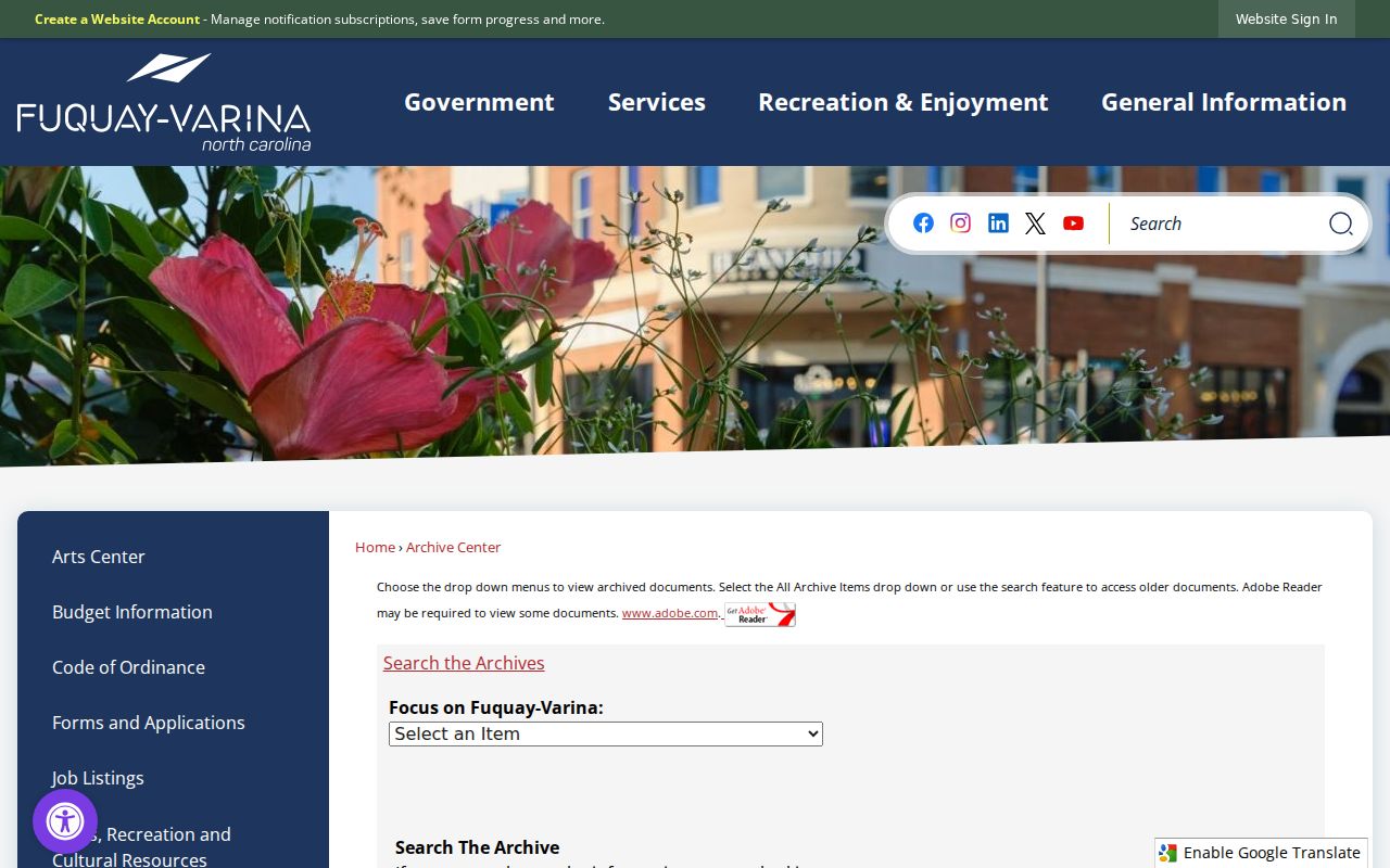
The archive search is a useful dated-document layer alongside the current map. It should be read as a source for a project or town action, not as a directory of people.
For drainage outside the street right-of-way, the town FAQ notes that responsibility may rest with the property owner or an HOA. Planning is the correct municipal custodian for that question and can be reached at 919-552-1429. That responsibility clue does not supply a group roster or confirm a parcel's owner.
Separate Fuquay-Varina ZIPs and Limits
A ZIP label is not a municipal boundary. Wake's official ZIP map labels 27526 as Fuquay Varina and shows nearby 27540 for Holly Springs, 27592 for Willow Spring, 27501 for Angier, 27529 for Garner, and 27502 or 27539 for Apex. For an edge address, compare the USPS result, the town jurisdiction layer, and the parcel location. A nearby ZIP or preferred mailing name does not establish that the address lies inside the incorporated town.
The town Property MapServer includes a ZIP Codes layer, which is useful visual context but not a delivery determination. USPS warns that an address lookup does not confirm a person or company at the address. Keep postal geography, town jurisdiction, and the parcel map as separate facts when looking at a Fuquay-Varina block.
Limit Fuquay-Varina Neighbor Searches
North Carolina voter records have statutory boundaries. Under G.S. 163-82.10, county boards may provide specified voter lists subject to confidentiality, format, and cost rules. Available fields can include name, county voter ID, residential or mailing address, age rather than date of birth, party affiliation, precinct, district, and voter history. Full or partial Social Security numbers, date of birth, registration agency, email, driver's-license information, photo ID material, and signatures are protected or restricted. A county request should identify the permitted fields, county or precinct, election-history range, format, and willingness to pay actual cost.
| Official records | Commercial neighbor tools |
|---|---|
| Link to a named custodian, identify the source date and legal record role, and allow verification against the original record. | May combine stale, unmatched, or opaque data. A result should not replace a parcel, deed, permit, or statutory voter source. |
Protected addresses can also be covered by North Carolina's Address Confidentiality Program. Do not try to reverse-engineer a substitute address. The North Carolina Public Records Law allows inspection and copies of public records but does not require an agency to create a new compilation or disclose protected fields.
Lawful use. Use block records for personal, lawful research and respect source limits. Repeated monitoring, unwanted contact, threats, or harassment can create criminal exposure under North Carolina anti-stalking and cyberstalking laws.