
Walk a Fuquay-Varina Street by Address
For a current Fuquay-Varina address, begin with the parcel rather than a name. Wake County mapping can connect a street address to a PIN or REID, then the recorded instrument index can place an owner of record in time. A voter result or a historical directory may add a separate clue, but neither turns a property result into proof that someone is present now. Keep the source URL and the date seen with every result. The useful sequence is address, parcel key, deed or permit, then a historical source when the question reaches beyond the current record.
- Search the address in Wake County iMAPS and note the displayed situs address, owner role, PIN or REID.
- Open the same area in the Town GIS and maps tools. Turn on address points and parcels, then record the map date and parcel geometry.
- Use the owner name or deed reference in the Wake Register of Deeds index. Read the deed image and its legal description before making a chain-of-title note.
- For a narrow, separate registration check, use the North Carolina Voter Search and corroborate any result with a date and a parcel record.
- For an older street snapshot, consult the 1961 Hill's Fuquay Springs and Varina volume at DigitalNC, preserving the printed locality and page.
Each step answers a different question. The map locates a parcel, the deed documents a recorded transfer, a permit describes work, and a historical directory captures a past listing. A Fuquay-Varina street directory becomes more reliable when those roles remain distinct.
Use Fuquay-Varina iMAPS Street Fields
iMAPS is Wake County's map and property-information route for a Fuquay-Varina street directory search. Its documented fields let a searcher move from a partial address to a stable parcel key. PIN and REID are generally the fastest identifiers. If an address does not appear, try the street name without the number, omit the street type, test a direction such as S or South, zoom to the area, and use Identify. The guide also notes that suggestions may need to be selected before a search completes.
| iMAPS field | How to use it | Street-directory value |
|---|---|---|
| Owner | Name fields or business owner | Finds a public owner-of-record entry, not an occupant |
| Address | Street number and name | Starts an address-based parcel search |
| Street | Street name without a number | Helps browse multiple parcels along a road |
| PIN | Parcel identification number | Connects map, tax, deed, and permit research |
| REID | Real-estate identifier | Provides another stable parcel key |
| Place / intersection | Place name or crossing streets | Useful when an address is incomplete or historical |
Use the result as an index to property information, not as a survey or a certified deed. Recent ownership, tax ID, or address changes can lag. A saved street-research row should identify the record as an iMAPS result and preserve the source date rather than treating its labels as permanent.
Note: A PIN or REID can stabilize a search when a street label, suffix, or displayed mailing line changes.
Read Fuquay-Varina Street GIS Layers
The town GIS adds local context to the county assessor view. Its published layers include Address Points, Parcels, Utilities, Transportation, Town Jurisdiction, Streets, Zoning, Land Use, Development, Solid Waste, Flood Hazards, and Environmental Features. The Property MapServer also describes building footprints, subdivisions, ZIP Codes, and surrounding Wake County parcels. For a named street, use address points and parcels first, then add the jurisdiction or development layer only when it answers a location question.
The Town GIS and maps page is the source for this local layer set.
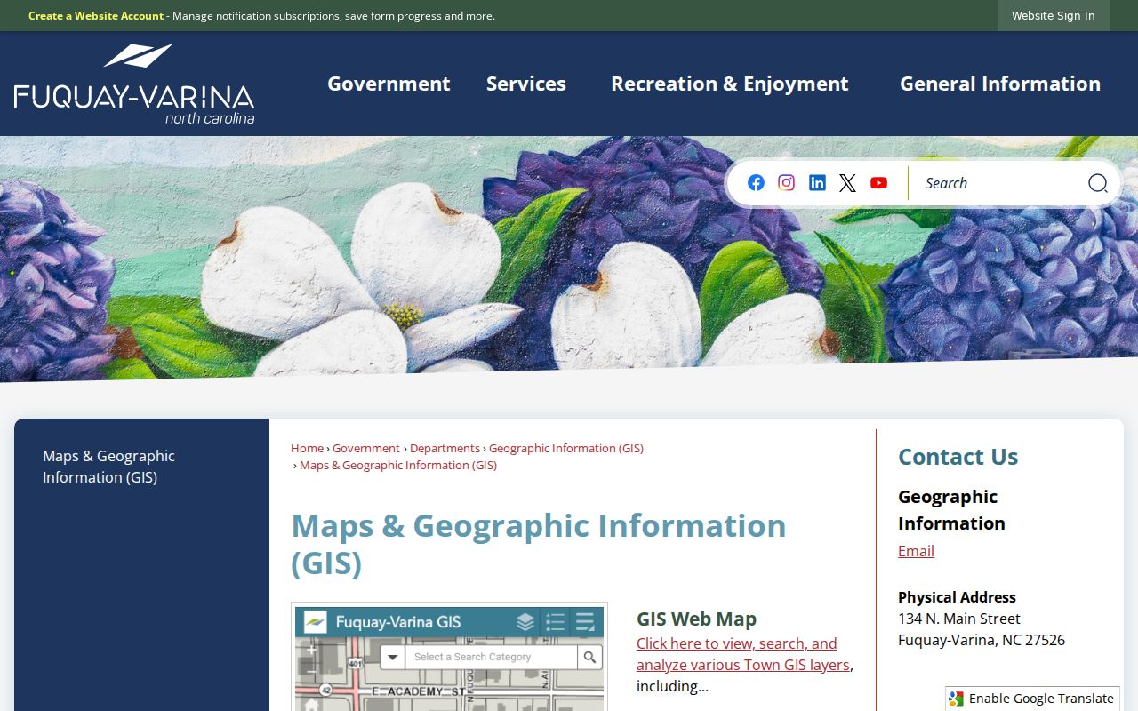
The image shows the municipal GIS entry point that supplies map context for street research. Parcel geometry can show which lots meet or surround one another, but it does not establish who lives at a location or replace a recorded plat.
Check Fuquay-Varina Address Permits
Permit records add a time layer to a Fuquay-Varina street directory. The current town ePermits public search exposes Permit Type, Permit Number, and Service Address. It is a public information search, while account and application features are separate. A result can identify a project or a listed party, but it does not establish who occupied the address. When a current portal returns nothing, record that outcome and try the county's older route instead of assuming no work occurred.
The following image links back to the current Fuquay-Varina ePermits search.
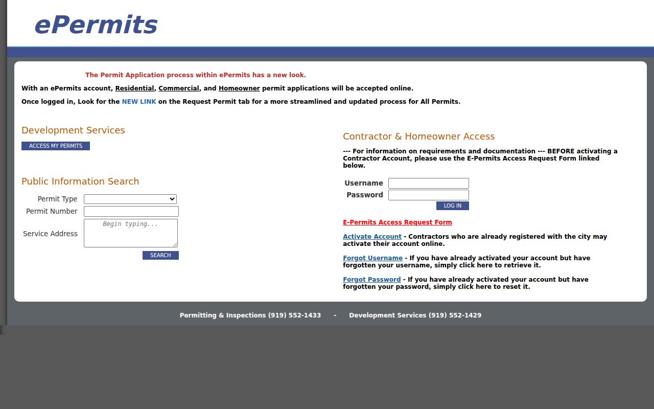
Use the service address as a spelling check against the parcel record, then save the permit number, status, and visible dates as a distinct permit observation.
Wake's legacy permit database explicitly covers records before July 1, 2018 and searches one field at a time: Applicant Name, Permit Number, Owner, Address, or PIN. The source states that it was last refreshed July 13, 2018, so its cutoff and refresh date matter. The town's current ePermits route and the legacy database should both be tested for older address work.
The following image links to the Wake legacy permit search.
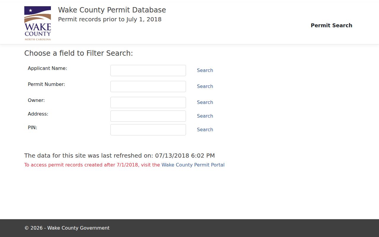
A legacy result may include address components, PIN, map, block, lot, status, dates, fees, water or sewer fields, and plat reference. Record only fields actually displayed and label the result as a permit record.
Trace Fuquay-Varina Deeds Across 2025
The Register of Deeds provides the legal trail behind a parcel. In the old Wake consolidated index, documents and images cover July 1785 through April 17, 2025. A new Land Records and Records Management application began April 21, 2025. A deed-chain search that crosses those dates needs both systems or the county's transition links. Do not assume the current interface has the same historical backfile behavior as the earlier index.
Start with the present grantee and most recent instrument. Read the recording date, book and page, PIN, legal description, grantor, grantee, and referenced exhibit. Then search the former grantor as a prior grantee. Standard and Sounds Like searches, Individual-Human and Firm-Non-Human classifications, document types, date limits, and book or page fields can resolve a break. Include deeds, releases, easements, plats, subdivision instruments, and name-change records when they explain the parcel's history.
The linked Wake real-estate property research resources page separates the assessor role from the Register of Deeds role.
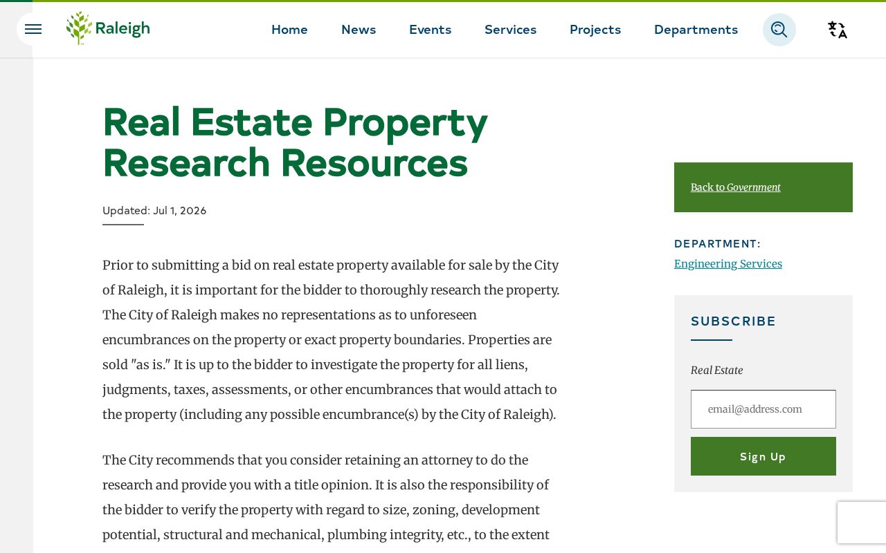
That distinction prevents a common error: the tax or map record supplies property context, while the recorded instrument and its image control the legal transfer details.
Compare Fuquay-Varina Street Records
Address-keyed sources cover different parts of a Fuquay-Varina street. A property record can identify an owner of record and map context. A deed explains a recorded transfer. A permit records a regulatory event. Voter material is governed by a separate statute and must be handled narrowly. Historical directories add a dated listing, not a current conclusion. The table keeps those limits visible while showing where each source fits.
| Address record | Custodian | Street information | Access route |
|---|---|---|---|
| iMAPS property record | Wake tax and GIS | Parcel, owner role, mailing and situs context, map view | Online mapping search; changes may lag |
| Town GIS layers | Fuquay-Varina GIS | Address points, parcel geometry, jurisdiction, zoning, development | Online viewer and open-data links |
| Recorded instruments | Wake Register of Deeds | Grantor, grantee, legal description, book and page | Old index, new application, counter or terminal |
| Permit records | Town and Wake systems | Project, service address, status, dates, referenced parcel fields | Current ePermits and pre-July-2018 legacy search |
| Voter and directory clues | State elections route and library holdings | Limited registration information or an historical address snapshot | State lookup, permitted request, or library consultation |
When a record is absent online, use the custodian's alternate channel. The Register of Deeds counter, public terminal, and deed microfilm at Olivia Raney can help with an incomplete chain. For historic reference material, the Wake library catalog and staff consultation are more useful than asking a town office to recreate a county record.
Keep Fuquay-Varina Voter Clues Limited
North Carolina Voter Search is a narrow public route for an individual record. County voter lists are controlled by G.S. 163-82.10, which allows specified lists subject to format, cost, and confidentiality rules. Permitted list fields can include name, county voter ID, residential or mailing address, age rather than date of birth, party affiliation, precinct, districts, and voter history. Full or partial Social Security numbers, birth dates, registration agency, email, driver's-license material, photo ID information, and signatures are protected or restricted.
A Wake County request for a permitted list should identify the county or precinct, requested statutory fields, election-history range, desired format, and willingness to pay actual cost. The inspected sources did not provide a stable Wake request form, current price schedule, or verified counter hours. A library can assist with navigating the state lookup, but it does not hold a private voter-file copy. A voter hit should be corroborated with a separately sourced parcel record and a time period.
Note: A voter result can support a dated research trail, but it is not a certificate of current residence.
Read Fuquay-Varina Street History Carefully
For a historical Fuquay-Varina street directory search, preserve the place name exactly as it appears. Fuquay Springs and Varina joined in 1963, and older records can use either label or Piney Woods rather than the modern town name. The 1961 Hill's directory is a useful historical checkpoint because its title names both Fuquay Springs and Varina. Search its street index when present, then inspect surname entries and page references before connecting a listing to a modern parcel.
Wake library holdings add deed microfilm, 1958 Property Maps by Parcel, newspapers, census indexes, guardians' accounts, land entries, and historical-society papers. An old street name may be a cross-reference rather than a modern address. Compare cross streets, lot or block descriptions, subdivision names, and legal descriptions. No dedicated official Fuquay-Varina renumbering log or complete before-and-after crosswalk was located, so a possible match remains a hypothesis until two independent records support it.
Put Fuquay-Varina Street Permits in Context
The FY2025 Annual Comprehensive Financial Report records 982 new building permits, including 921 residential permits. That is a fiscal-year measure of permit activity, not a count of current households or a promise that every address has a searchable record. It does explain why a street-level search may encounter a large set of address-linked project records. Treat permits as dated evidence of an application, inspection, or project rather than a roster.
The FY2025 ACFR is the source for those permit totals. Pair a permit date with the parcel PIN, map date, and the deed-record date before drawing a timeline for one address.
Define Fuquay-Varina Street Terms
Street research is easier when the record labels are kept in their proper roles. These terms recur in Wake and town sources, yet none alone identifies a current household.
- Parcel
- A mapped unit of land used for tax and map reference. It can be split, combined, or described differently over time.
- Situs address
- The physical location of the parcel. It is different from a mailing address used for correspondence.
- Plat
- A recorded map that depicts lots, boundaries, easements, or a subdivision. The recorded plat, not a screen map, controls its legal details.
- Criss-cross directory
- A reverse-style directory arranged by address rather than surname. It is a dated historical listing and should be read with its year and source.
For a whole-road record, save the displayed address, PIN or REID, parcel or subdivision label, owner role if shown, mailing-versus-situs distinction, deed or permit reference, source date, and confidence note. That compact row is more useful than an unsupported claim about a household.
Respect Fuquay-Varina Street Directory Limits
A Fuquay-Varina street directory can show public property, map, permit, deed, and historical-source clues. It cannot establish every person connected with an address, expose protected voter fields, recreate restricted motor-vehicle information, or override an Address Confidentiality Program protection. A deed owner may be an entity, trust, estate, or person whose mailing line is elsewhere. Parcel adjacency also does not create a social or household relationship.
Lawful use. Use address records for personal, lawful research and respect statutory restrictions. North Carolina anti-stalking and cyberstalking laws can apply when records are used for repeated monitoring, unwanted contact, threats, or harassment.
The North Carolina Public Records Law permits inspection and copies of public records, while allowing custodians to protect confidential portions and direct a requester to the record holder. Ask for a specific existing record, identify the field in question, and verify important information with the proper office.